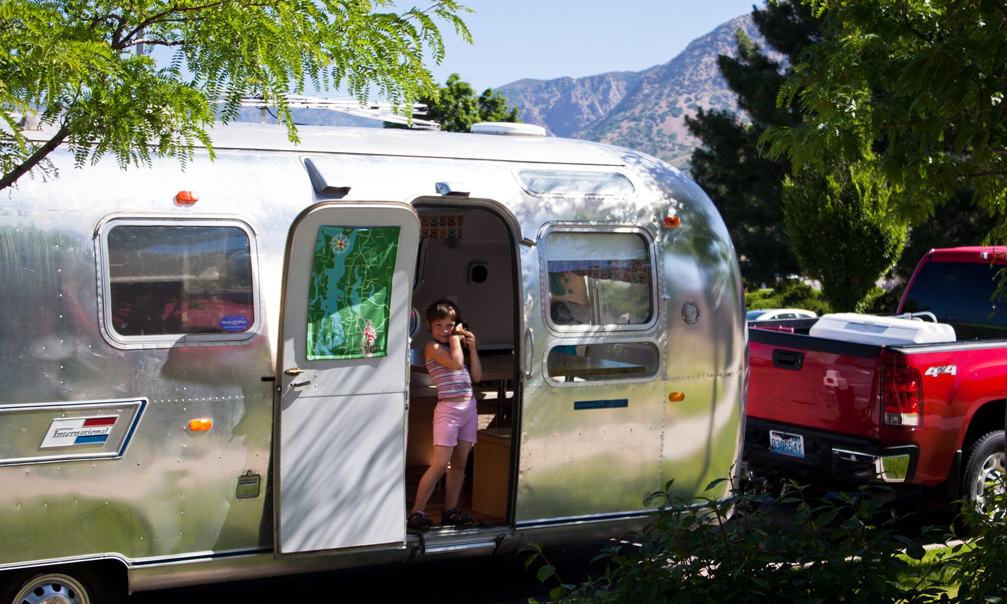
Our day Wednesday seemed extra long for whatever reason in our mad dash for Yellowstone. We started off by hightailing it out of MIrror Lake State Park in Wisconsin Dells, heading north on I-90 towards Minnesota (Indy tried fly fishing in this lake, only to realize it really should have been called Algae or Swamp Lake State Park). The park itself was decent but the RV sites had shared driveways. They had plenty of room to spread out the sites more than they did. No matter, we were only there overnight.

We stopped at La Crosse to stock up on some food, eat breakfast and fuel up. The truck was getting about 11-12 mpg the entire trip. The goal was to try and fill up every 250 miles or so assuming there would be a place to do so – about every 3.5 hours. This would also be the time to stretch, snack/eat and use the restroom. When the traveling days are 10-11 hours, minimizing the stops are critical to prevent the day from heading into the “insanity” level. One thing we learned on this trip: when going across the country, a family needs more than a month. Driving 10-11 hours each traveling day was not ideal since the actual time, including stops, was 13-14 hours. That’s too long and we knew it but didn’t really have a choice since time was against us. Unfortunately there were a lot of sights we had to pass up due to this time crunch. Museums, landmarks, geological sites, etc. As an example, on Wednesday we entered South Dakota with the the intent to sleep over in Rapid City. We had to make it to Rapid City in order to make the next days goal of getting to Yellowstone a reality. This resulted in us passing through Badlands National Park in the dark. We got a tiny little glimpse before it was real dark and really wanted to stop and see it. Even more so after spending all day through the flats of southern Minnesota and eastern South Dakota. Finally the geography was getting interesting just as it got dark. Sigh.
Regardless, we made it to Rapid City by 10:30pm. We stayed at the Lake Park Campground. This place was more like an RV park than a campground. The office people were very nice, the restrooms were very clean and it wasn’t a huge place, so overall it was a pleasant place to spend our 10 hours of rest. They weren’t any more pricey than the other RV Parks/campgrounds. For those staying more than a night at Rapid City, Lake Park had a nice location close to the lake: paddle boats, swimming and fishing. We, however, had a date with Yellowstone and needed to get going in the morning, which we did. We headed off into the Black Hills of South Dakota and eastern Wyoming. It was good to see pine trees and rolling hills/mountains again. Ever since leaving Highway 7 in Vermont, the geography of the I-90 route struggled to gain our attention much (we unfortunately were driving next to Lake Erie in the dark), with the exception of crossing over the Mississippi River and heading into the Minnesota. That was a decent 30 minutes.
Once we were through the Black Hills, we dropped down into Sheridan where we grabbed a bite to eat and fuel up. Dropping out of the Black Hills presented us with a nice view of the Buckhorn Mountains off in the distance. Before hitting Sheridan, there were signs saying how Highway 16 was a much better drive over the Buckhorn Mountains than our planned Highway 14. The signs said the scenery was better, the grade was less and it was a safer road. We stuck to Highway 14. Even though we have no idea what Highway 16 was like, we couldn’t imagine anything being a better scenic drive than Highway 14. Needless to say, we loved Highway 14 through the Buckhorns. To sum up that drive in 5 words or less: Wow.
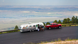
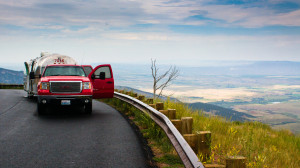
The Buckhorns immediately presented us with a steep climb. We figured the road would go around some mountains and up some valley floors and find the lowest path into the range. Nope. The road tackles the first large mountain it comes against. Up, up, up and up we went. Think Cabbage Hill but no freeway, 3 times longer, way more curvy and definitely slower.

Every switchback revealed a tremendous view of the eastern Wyoming. The elevation we were at made the Black Hills look like the plains of Illinois. Of course, Miette was a bit nervous looking down and may have been reconsidering her choice of going across the country at this time. Once the road began to level out, we found ourselves in a national forest with mountain meadows galore, rock formations, alpine lakes and free range cattle and sheep (and needing to suddenly stop for a sheep)… and very narrow road. The driver (Kelly) was tempted all through this drive with the sights screaming at him to take his eyes off the road. After about 30 minutes of pretty level roads, the route began to drop down the other side of the Buckhorns. As steep as the climb up was, the downward path was the same.

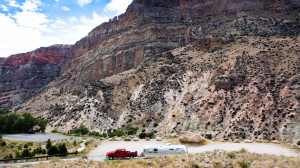
The scenery changed extremely fast from green forests and meadows to dry, rocky terrain. It was still beautiful though. The towering cliffs were dominating the view and was very impressive to the eye. The road went down a valley that a road probably shouldn’t go down.

Cliffs on one side, stream next to the road on the other side and cliffs hanging over that stream. We were able to stop and grab some photos but the time thing was still against us. We never knew the Buckhorn Mountains existed. We do now. If anyone is ever going to go to Yellowstone from the east, take Highway 14 from I-90 over the Buckhorns… you will not be disappointed. I wouldn’t even hesitate to recommend those coming in from the west to make a longer trip into Yellowstone and catch the Buckhorns on the way in.
The Buckhorns were just the beginning of the geographical eye candy. The next post will explain our route after coming out of the Buckhorns and heading into Yellowstone, including our time there.

One Reply to “Yellowstone… But First The Buckhorns.”